Allies Need Deterrence and Backup Routes to Protect Maritime Chokepoints

Adm. James O. Ellis Jr. argues that Iran’s threat to close the Strait of Hormuz shows how a state without a great navy can endanger shipping with shore-based missiles, drones and sea mines. He says the United States and its allies need to deter such attacks with forces able to contest access to chokepoints, while also preparing reserves and alternate routes to limit the damage if a waterway is closed.
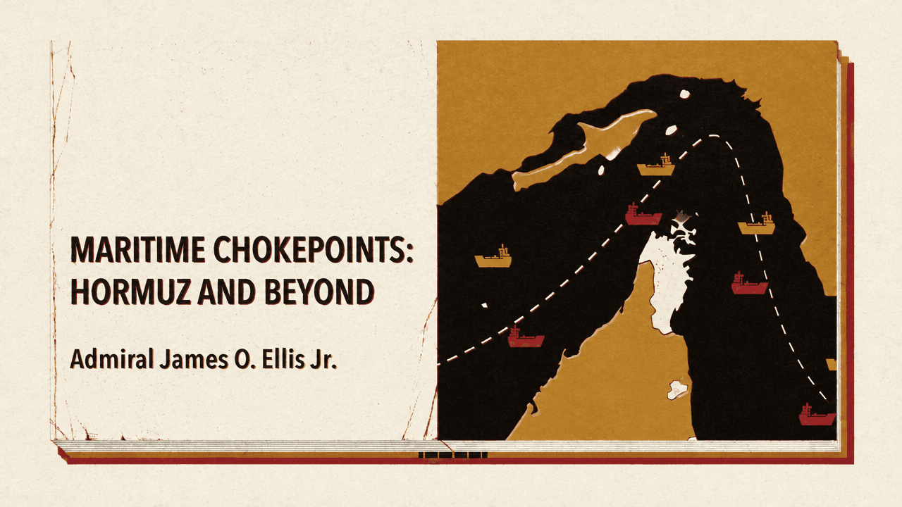
A waterway can be threatened from shore
James Ellis says Iran showed that closing the Strait of Hormuz does not require a great navy. Missiles on shore, drones in the air, and covertly laid sea mines can threaten maritime trade. The point is not that naval forces no longer matter, but that a state can put shipping at risk without sending a fleet into the strait.


The stakes extend beyond Hormuz: more than 80% of global trade by volume travels by sea, and maritime transport is essential for bulk commodities.
Ellis contrasts today’s threat with earlier examples in which ships were central to protecting trade. A young American Navy defended merchant vessels from Barbary pirates; in the Atlantic during the Second World War, British and American convoys escorted merchant ships against German U-boats and surface raiders. Historically, naval power has been used to secure or deny trade on open water, along coasts, and through narrow passages.
Today, precision-guided weapons, inexpensive drones, and integrated anti-access/area-denial networks allow forces based on land to limit an adversary’s access or freedom to maneuver at sea. The Hoover graphic accompanying this point depicts the Red Sea and Gulf of Aden with a maritime area marked closed, illustrating the broader shift: an actor with no powerful navy can still constrain shipping.
The coastal fort can reach far beyond the coast
The old warning that “a ship’s a fool to fight a fort” has, Ellis says, never been truer. But the fort is no longer necessarily fixed beside the water. Mobile systems can reach hundreds or even thousands of miles out to sea.
He points to Iran’s ability to threaten Hormuz from land, and to China’s coastal fortress opposite Taiwan, designed to complement its navy and able to blockade the island from land and sea. The accompanying map pairs the Strait of Hormuz with the Taiwan Strait, showing how the same basic problem can arise in different regions: shore-based forces can help close a maritime route or restrict access to it.
The First Island Chain map makes the implication for deterrence more concrete. It depicts land-based anti-ship missiles firing from islands toward ships near the Chinese coast. Ellis’s proposal is to make the chain a “two-way firing range”—not just a line exposed to pressure from the mainland, but a position from which allied forces could contest movement at sea. The source says missiles in allied hands could help create that two-way firing range; it does not specify who holds the islands.
Deterrence and resilience address different moments
James Ellis calls for two forms of preparation: deterrence by denial and resilience by design. Denial is meant to convince an adversary that an attempt to close a chokepoint will fail, or cost far more than it gains. Resilience matters if that deterrence fails: it limits the damage after a route is disrupted. Together, the proposals address both the decision to attempt a closure and the consequences if one occurs.
For deterrence, Ellis proposes putting land-based anti-ship missiles in allied hands and adding stealthy, low-cost unmanned vehicles operating on the surface, underwater, and in the air. He also calls for deep ammunition reserves co-produced with allies. The proposals combine forces positioned to contest access with enough ammunition to sustain that capability; the First Island Chain map shows the geography behind the missile proposal, while the unmanned-vehicle graphic identifies the surface, undersea, and aerial systems.
Resilience is a separate requirement, not a substitute for deterrence. Ellis’s warning is that if a chokepoint closes tomorrow, the damage will depend on decisions made years in advance. He proposes internationally coordinated strategic reserves, including oil and natural gas, followed by supply redundancy and bypass capacity.
- Year 1Coordinate alternate oil and natural-gas reserves.
- Year 2Develop supply redundancy and bypass capacity.
Saudi Arabia’s East-West pipeline illustrates what bypass capacity can mean in practice. Ellis says it has surged to move roughly 5 million barrels per day to the Red Sea, describing it as thoughtful insurance against a Hormuz closure. The accompanying map traces the pipeline across Saudi Arabia toward the Red Sea, making the alternative route visible: resilience depends not only on holding reserves, but also on having a way to move supply when a chokepoint is unavailable.
Protecting commerce means preparing for closure
James Ellis’s proposals follow a two-part logic. Allied weapons, unmanned systems, and ammunition reserves are intended to make an attempted closure fail or become too costly. Coordinated reserves and alternate routes are intended to reduce the damage if an adversary succeeds. Neither removes the vulnerability of narrow waterways; the preparations address it from opposite sides of a disruption.
Global prosperity and security still travel in ships, Ellis says. Preserving global commerce therefore means preserving the narrow waterways it depends on—and preparing in advance for the possibility that those waterways may be threatened.