The Colorado River Is Overdrawn From Snowpack to Delta
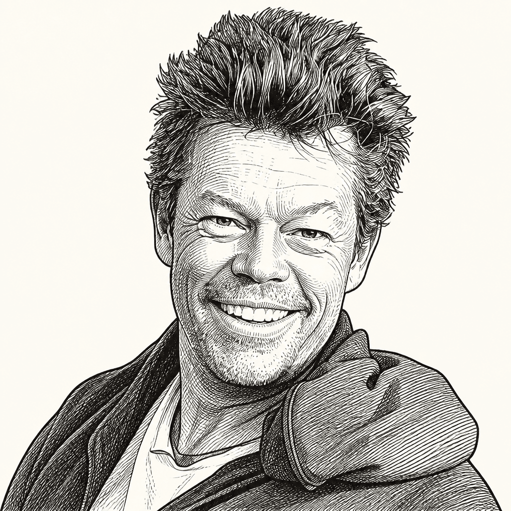
National Geographic photographer and filmmaker Pete McBride uses Witness to Water to argue that the Colorado River’s crisis is already visible across the basin, from diminished snowpack near Aspen to mud and cracked earth in the Sonoran Desert delta. Following the river through reservoirs, canyons, farms, cities and tribal lands, McBride presents it as an overdrawn system asked to supply drinking water, crops, hydropower, recreation and habitat beyond what a hotter, drier watershed can reliably provide. His case for hope is conditional: restoration and compromise are possible, but only if water users demand less and work at the scale of the river’s losses.
The river is already missing at both ends
Pete McBride frames the Colorado River as a system whose losses are visible from the headwaters to the delta. The dry lawns and ditches around Aspen, he says, are part of the same story as the cracked desert at the river’s end. His project, Witness to Water, follows the river from the Maroon Bells and Maroon Lake in Colorado to the Sonoran Desert, where he photographed the dry delta about 15 years ago — an image he says “changed the direction” of his life.
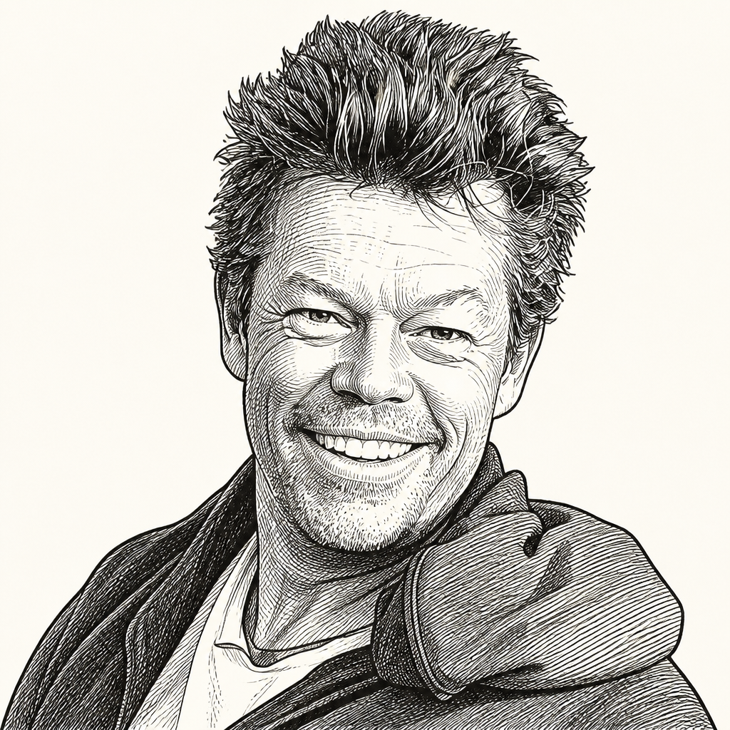
The Colorado River, in McBride’s telling, is not merely a scenic icon or an engineered supply line. It is a watershed under compounding pressure: warming, drying, diversions, agriculture, reservoirs, groundwater, recreation, energy, wildlife, public lands, tribal sovereignty, and the habits of cities and consumers.
The stakes are numerical as well as visual. The river runs through seven states and two countries. Forty million Americans rely on it for drinking water. It irrigates five and a half million acres of crops. In winter, McBride says, if you eat vegetables or salad in December or January, “you eat this river.”
| Measure | McBride's figure |
|---|---|
| Americans relying on the river for drinking water | 40 million |
| Farm acreage irrigated by the river | 5.5 million acres |
| Share of river use drawn by agriculture | More than 70% |
| States in the river system | Seven |
| Countries in the river system | Two |
McBride’s recurring constraint is simple: the river has been asked to do more than the watershed can now reliably provide. At the top of the basin, snowpack has been diminishing. At the bottom, the river often fails to reach the sea. In between, cities, farms, dams, canals, mines, golf courses, recreation economies, hydropower systems, and ecosystems all make claims on the same shrinking supply.
He does not argue that every use is illegitimate. He argues that the system now carries “so many straws” and “so many changes” that the effects are visible across the basin. The river is “one of the hardest working rivers in the world,” and in parts of the headwaters it is already starting in deficit.
The headwaters are no longer a stable source
McBride’s attention to water began in other landscapes. As a photographer and filmmaker for National Geographic, Smithsonian, Outside, and other publications, he worked around water systems on several continents: the Khumbu Icefall on Everest, where he followed Sherpa “Ice Doctors” building routes through a retreating glacier; the Ganges, which he describes as both sacred and contaminated; the Amazon, where rainstorms and river life sharpened his interest in entire water ecosystems; and Antarctica’s Graham Land, where he documented glacial change and watched large ice arches collapse.
After two decades of expeditions on all seven continents and in more than 75 countries, he returned to Colorado’s Roaring Fork Valley, where he had grown up on a cattle ranch about 17 miles from Aspen. His father, John, who moved to the area in the 1960s, told him to focus on water: “It’s getting hotter and drier.”
From North Maroon Peak, McBride looked down across the watershed toward Crater Lake. The lake, which he visited as a child, is now, by his estimate, about 20% full of what it used to be. The outline of the former lake remains visible. That observation became an entry point into a National Geographic story that expanded into following the entire Colorado River.
The changes at the headwaters are not subtle in his telling. The basin is in its third decade of drought, and the most recent winter produced what he called the worst snowpack in recorded history. On Snowmass Peak, he points to “dust on snow”: brown dust blown in from the west, which he attributes to increased development southwest of the area. The dust holds heat from the sun, melts snow faster, and, he says, costs the river about 10% of its flow through rapid runoff.
Reservoir conditions near the headwaters show the shift another way. At Ruedi Reservoir above Basalt, McBride recalls skating on black ice, a rare event from his childhood perspective. The reservoir froze after a cold snap, but without snow covering it. The scene was beautiful, he says, but also a sign of a changed climate: hotter and drier, with altered snow patterns even high in the watershed.
Near Kremmling, the Colorado looks from the air like a healthy lazy river. McBride says it is flowing at roughly 50% of its historic flow. Part of the reason, in his account, is the 22 trans-basin diversion tunnels near the headwaters that move water through the Continental Divide to Colorado’s Front Range — Denver, Boulder, Colorado Springs, Pueblo — where it never returns to the Colorado River Basin. It is transferred from the Colorado River Basin to the Mississippi Basin.
That starting deficit affects more than hydrology. Gold Medal fishing waters near Aspen are now, in summer, sometimes too low and warm to fish safely because the temperatures are unhealthy for fish. McBride cites a study from about a decade ago that put the Colorado River’s annual recreation value at $26 billion from fishing, rafting, picnicking, and related uses — enough, he notes, to have placed the river ahead of Progressive Insurance at the time of the study.
Agriculture is the largest draw, taking more than 70% of the river. That is personal for McBride: he grew up irrigating on a cattle ranch. But he treats it as a basin-wide structural issue. The river supplies ranches, vegetable fields, alfalfa, cities, reservoirs, industry, fish, rafters, and Indigenous homelands. The pressure begins at the snowline.
Lake Powell is losing water and revealing Glen Canyon
The decline of Lake Powell is both crisis and disclosure. Glen Canyon Dam, whose construction began in 1954 and was completed around 1966, created Lake Powell. McBride says the reservoir did not finish filling until 1983. His father’s Super 8 footage from 1968 or 1969 shows McBride’s mother walking up a tributary canyon in Glen Canyon as water levels rose. The footage also shows Native American rock art, home sites, and a rich history that, for McBride’s entire life, had been underwater.
Because drought has drawn the reservoir down, parts of that canyon are returning to view. McBride says his father walked those canyons when the reservoir was at about 23%. Now, in the third decade of drought, Lake Powell — which McBride calls the second-largest reservoir in the United States — has receded back to about 23%. Forests that once stood in Glen Canyon are still there as “ghost forests,” bleached trunks emerging from water or sediment.
The return is not uncomplicated. The reservoir has served hydropower and economic purposes, and some people consider it a major economic engine. McBride also points to the damage: bathtub rings, sediment, and Indigenous artwork and structures that have “long gone away.” But he sees a “silver lining” in the exposed canyon. Cathedral in the Desert, which a Navajo friend describes to him as a sacred landscape, has been underwater for McBride’s whole life. Now it is visible again. He suggests that Glen Canyon may be “on par or even more spectacular than Grand Canyon” as it returns.
The engineering problem is more severe. Glen Canyon Dam is sitting, in McBride’s account, near 23% full. Lake Powell once had more shoreline than the coast of California. As water levels continue to fall, the reservoir approaches “power pool,” the level at which there is not enough water to run through the dam’s turbines. Below that is “dead pool,” a level the dam’s designers did not anticipate, where water drops below the exit canals and cannot pass through the dam into the Grand Canyon.
McBride showed a cross-sectional diagram labeled “Lake Powell Critical Water Levels,” with Lake Powell, Glen Canyon Dam, a turbine, the Colorado River, minimum power pool, and dead pool marked. The point was operational, not scenic: if the water drops below the wrong intake or outlet elevations, the reservoir is no longer just low. It stops performing functions on which the downstream system depends.
That scenario would not merely reduce power generation. McBride says it could create a situation in which parts of the Grand Canyon downstream dry up. He acknowledges complications, including fish species in the reservoir that managers do not want released downstream because native species are present below. But his governing line is that the river has its own physical limits.
Mother nature, as we say, bats last and she's batting pretty well right now.
Lake Powell’s retreat is not simply good or bad in his presentation. The same drought that threatens hydropower and downstream flows is uncovering a drowned canyon. The same engineered storage system that made growth possible now exposes the risk of assuming water levels would remain high enough to keep the system functioning.
Grand Canyon is protected, but not insulated
Pete McBride first entered the Grand Canyon by river, rowing a dory through the 277-mile Colorado River corridor. After flipping at Lava Falls, he heard guides and park rangers talk about pressure on the canyon. His first reaction was disbelief: the Grand Canyon seemed to him one of the most protected landscapes in the world. Their reply was that everyone was trying to turn its beauty into cash.
That tension led McBride and writer Kevin Fedarko to walk from the eastern tip of Grand Canyon to the western tip. McBride had pitched the journey as a walk through beaches and “marmalade light.” The reality was roughly 750 to 800 miles because walking the canyon requires moving up, around, and down the side drainages rather than following the river’s 277-mile line. More people, he says, have stood on the surface of the moon than have walked the Grand Canyon tip to tail.
The walk became a way to see the park’s pressures from inside its terrain. The canyon is “a completely shattered broken landscape.” To move downstream on foot, they had to move vertically through rock layers, climb walls, rappel through slot canyons, find fresh water away from the river, locate freeze-dried food caches, and avoid scorpions, rattlesnakes, cholla, heat, and cold. During one heat dome, temperatures reached 116 degrees during the day and fell only to 109 at night. In winter, batteries had to be stored in armpits. Over the course of the walk, McBride says they went through eight pairs of shoes, sprained four ankles collectively, broke two fingers, lost two girlfriends, and he went into AFib and had heart surgery. He lost more than 40 pounds.
The ordeal is not the point. “The idea wasn’t to conquer the canyon,” he says. It was to document the “open-air cathedral” and the forces bearing down on it.
One pressure was a proposed billion-dollar development on Navajo Nation land: a gondola from the canyon rim down to the Confluence, where the Little Colorado River meets the main Colorado. McBride and Fedarko climbed 3,800 feet out of the canyon to meet Renae Yellowhorse, a 12th-generation Navajo woman living on the rim, who opposed the project. She considered the Confluence sacred. McBride says many others did too; he calls it “their Sistine Chapel.” The concern was not only visual or spiritual impact, but water. In an already stressed river system, he asks, how would the development work?
Farther along the route, another pressure appeared in a creek that seemed drinkable but was not. Horn Creek, McBride says, is marked by the Park Service as water not to touch or consume because it is radioactive. He connects that condition to the long history of uranium mining around Grand Canyon National Park, on both the North and South Rim. The Havasupai Tribe was protesting in front of what he described as the only current active uranium mine in Grand Canyon. He later identifies the active mine as Pinyon Plain Mine. A mine site may look small from above, he says, but the shafts run about 3,000 feet deep. When a mine intersects groundwater, in his explanation, water can flood up through the shaft and move into places such as Havasu Creek.
For the Havasupai, that is direct exposure. Supai Village has no roads and receives mail by mule train; its water comes from the canyon. But the stakes extend to biodiversity as well. Grand Canyon, McBride says, has the widest range of biodiversity of all U.S. national parks because its depth creates so many ecosystems.
Then there is sound. McBride entered the canyon with the tools of a photographer — scale, light, texture — but came to see silence as one of the park’s greatest wonders. He describes a “deep, deep crystalline blanket of silence” and waking not to an alarm but to the whisper of bat wings circling overhead, drawn by his carbon dioxide as temperatures changed. Around shallow rainwater pools, sometimes only a quarter-inch deep and collected with syringes for drinking water, he heard canyon wrens and the sonic life of the canyon.
That soundscape was fragile. In the western canyon, he entered what he calls Helicopter Alley. One composite photograph from a single day stitched together 363 helicopter flights passing in front of his lens on what he describes as an average idle Tuesday. He insists he was not simply condemning the air-tour industry; he is a pilot and loves flying. His point is collective impact: on water, soundscapes, public lands, and shared spaces. Even protected landscapes remain exposed to the systems around them.
Reservoirs, canals, and export crops show how far the river is stretched
Below the Grand Canyon, the river reaches Lake Mead and Hoover Dam. Hoover was built in 1935. McBride says he had read that Lake Mead had just reached its lowest level since 1930, before the dam was completed. The bathtub ring around the reservoir records the drop.
The Las Vegas water system illustrates both the cost of scarcity and the possibility of adaptation. McBride points to an abandoned intake visible in one image — the “first straw” for Las Vegas — that dried up. The city then built a “second straw” at a cost of about half a billion dollars; that also dried up. It has since built a “third straw,” nearly a billion dollars, from below Lake Mead, “like a bathtub drain.” Water may be described as free, he says, but delivering it is expensive and complicated.
He used to criticize Las Vegas as a wasteful desert oasis. He now treats it as instructive. Vegas did not exist when the Colorado River was divided up 100 years ago, he notes, so it has been forced to stretch its supply further than almost anyone. Its pools, in his account, are now recycled gray water and shower water. As the city’s population grew by nearly 800,000, it found a way to use less water. “Not a perfect example,” but an example of doing more with less.
Golf is “another story.” McBride says there are 28 golf courses, some trying to improve, some using large amounts of water. But the larger straws appear downstream, where the Colorado forms the border between California and Arizona and feeds canals across the desert.
One major canal runs 336 miles uphill across Arizona to Phoenix and Tucson. McBride says it supplies 40% of Phoenix’s water and 100% of Tucson’s. He often asks cab drivers in those cities if they know where their water comes from; they usually do not know it is pumped from a river.
The historical comparison to the Gila River sharpens the warning. The Gila flows through New Mexico and southern Arizona toward the Colorado. McBride shows a 1936 image of a flowing river under a concrete bridge, then a present-day image of the same bridge over a completely dry, overgrown riverbed. A river can be reduced to a dry channel when its water is fully claimed elsewhere.
At Yuma, Arizona, the river enters what McBride calls the lettuce capital of America. Winter greens, baby greens, spinach — if eaten in December or January — are tied to this landscape. For people far from the Colorado Basin, the issue still reaches their plates.
The largest diversion, he says, is the All-American Canal west of Yuma. It takes one quarter of the Colorado River’s water supply to the Imperial Valley. The valley once grew more lettuce and vegetables on family farms, in McBride’s account; now much of the landscape is industrial alfalfa. Some farms are producing 10 to 15 cuttings of hay per year. When he visited recently, he says he learned, to his surprise, that the alfalfa he was seeing was not necessarily for American hamburgers or even staying in the United States. He showed an export facility and distribution center he described as Saudi-owned, and said alfalfa worth $450 a ton was being shipped overseas to China and Saudi Arabia in Amazon shipping containers.
For McBride, this is among the clearest examples of the basin’s misalignment: in a drying system, water is leaving the watershed in the form of exported forage. His objection is not to Saudi Arabia as such. It is that the river needs water kept in the system.
At the delta, the river becomes mud
The last major dam on the Colorado River is Morelos Dam, at the border with Mexico. Below it, McBride says, there used to be one of North America’s largest desert estuaries. Aldo Leopold, who canoed there in 1922 with his brother, described the river as “nowhere and everywhere” because the delta was so vast.
McBride teamed up with John Waterman, who had paddled the entire length of the Colorado River, to see what remained. Two miles south of Morelos Dam, they found thick mud. In a video clip, a yellow inflatable packraft is stuck in what McBride calls the “Frappuccino pit.” This, he says, is the end of one of the mightiest, hardest-working rivers in the Southwest.
He rejects the common dismissal that water reaching the ocean would be a waste. The former delta was not unused water. It was habitat, culture, fisheries, and a functioning estuary. He points to a Cocopah man whose ancestral fishing grounds were there and says he is quite sure the man would like to see his river return.
McBride had packed his raft optimistically, expecting to see more of the delta return. Instead, he says, he walked roughly 90 miles across cracked, parched earth and saw almost no birds. That absence mattered because historic writings described so many birds passing through the delta that they could blacken the sky. The delta’s loss made him realize that water is one of the great stories people are not talking about enough.
The Colorado River becomes symbolic for him of watersheds elsewhere: the Rio Grande, parts of the Mississippi, even places in the Amazon. He shows an aerial image of dry channels branching across a pale surface like arteries and returns to the idea that rivers are lifelines.
A NASA model gives the argument planetary scale. In the model, as McBride describes it, a blue sphere over the Rocky Mountains represents every drop of water on Earth: oceans, seas, rivers, glaciers, groundwater, creeks, everything. A smaller sphere over roughly Tennessee represents all fresh water. A tiny drop over Atlanta represents accessible fresh water. The difference between the fresh water spheres is that most fresh water is locked up in places such as Antarctica. The Colorado’s scarcity is part of a larger fact: usable fresh water is a small fraction of planetary water.
McBride’s hope depends on work, not optimism
Pete McBride says the Colorado River story made him pessimistic. But he has also seen examples of “earned hope,” which he defines as working hard and not giving up. His examples are not sweeping basin compacts. They are restoration projects, tribal organizing, local resistance, and persistence over years.
The first is the 2014 pulse flow that allowed the Colorado River to reach the sea after more than a decade. McBride paddled during that event and recalls celebrations: mariachis, dancing horses, people toasting their long-lost friend, El Río Colorado. The journey became, for him, proof that a river can be restored if people try. Years later, he returned to find cowboys he had seen that day riding horses in the water. They told him it had been one of the greatest days of their lives, seeing their backyard river return. When he found them again, they were still there, waiting for the river to come back.
Pulse flows have become harder in a hotter, drier system, but they continue because some people have not given up. Downstream from those horsemen, McBride says, a place that had been cracked earth and invasive species when he walked the delta is now a flourishing cottonwood and willow forest. Fifteen million birds flew through it, in his account. Because the Colorado delta is part of a major flyway for birds moving north and south, this restoration is not cosmetic; it reconnects habitat.
In response to an audience question about what people can do, McBride points to organizations involved in restoration and protection work, including the Audubon Society, the Nature Conservancy, American Rivers, Reviving El Rio, the Redford Center, and the Grand Canyon Trust. His advice is practical: donate money, time, resources, connections, and attention; write letters even when it sounds clichéd; support organizations on the front lines. He says he has seen such efforts help.
A second example is Renae Yellowhorse and the fight over the proposed tram to the Confluence. McBride says Yellowhorse and 12 other Native American women, mostly Navajo and only four of whom spoke English, used the back room of a Denny’s as their office. They gathered 87,000 signatures and went before the Navajo Council. He was present for the meeting, which took all day. To the surprise and delight of many, they won. In his framing, Yellowhorse helped keep the park looking as it did when he walked through it for the next generation.
The third example is the Havasupai campaign against uranium mining. When McBride photographed the protests, he focused in part on a nine-year-old girl named Maya, wearing a panda bear hair clip. At the time, he did not honestly think anything would happen. A National Geographic story might bring attention, but he doubted whether policy would change. Maya is now 19. McBride says she and her mother organized 13 tribes and helped create a new national monument around Grand Canyon National Park that is nearly a million acres and prevents new uranium mining. She went on to introduce the former president when the monument was announced. McBride emphasizes that she grew up on a dirt floor with no running water and later introduced a president of the United States.
These examples do not erase the imbalance in the basin. They define the kind of hope McBride is willing to claim: water in a dry riverbed, birds in restored habitat, a blocked development, a mining restriction, a community heard.
The basin’s politics are moving toward conflict unless the states compromise
McBride gives a blunt policy diagnosis: the states are not working well together. In an editorial he says he recently wrote for Time, he argued that water managers from the desert states and the mountain states are not even sitting at the same table. There are seven basin states. The Bureau of Reclamation has been trying to offer compromise proposals, he says, but the states are not liking them.
His suggested remedy is deliberately physical. Years ago, he says, two former heads of the Bureau of Reclamation and David Brower of the Sierra Club — opponents “like oil and water” — got in a boat together and went down the Grand Canyon. McBride thinks current water managers should do the same: get in a boat, go down the river together, and not get off until they have a solution. Decisions made in fluorescent-lit rooms far from the river cause the river to suffer. On the river, the abstraction would disappear: the boat itself would run out of water.
In the question period, an audience member asked whether the federal government might decide allocations if the states fail to agree, and whether President Trump would hurt blue states versus red states. McBride said he could not predict Trump because he is unpredictable. But he argued that a partisan allocation would be foolish because the river flows through red, blue, and Native communities and connects many national parks. If voices do not make that clear, he warned, “we’re going to be in trouble.”
The federal government has been offering compromise proposals, and everyone will have to compromise. Everyone, McBride adds, will probably walk away angry. The alternative is a short-term approach: fix the system every two years, which he sees as an invitation to litigation and more “band-aids.” He says the states argue that if all seven can come together, they can produce a longer-lasting solution. But “everyone’s saving money right now and getting ready to lawyer up,” so the story is far from over.
The discussion also turned to specific state actions. An audience member raised Arizona’s response to Saudi-backed groundwater pumping for alfalfa exports. McBride agreed Arizona had done “a great thing” by shutting down drilling for export alfalfa production. He said some wells had gone more than 3,000 feet deep and that he had visited some of those places. Arizona, he said, is paying attention.
Asked why California could not do the same, McBride said he has been trying to get California to “wake up” because roughly one quarter of the river is going to export through the Imperial Valley’s alfalfa system. Saving water there would matter. Again, the issue is not animus toward any foreign buyer. It is the need to keep water in the river system.
The technical fixes discussed are partial. An audience member mentioned San Diego’s desalination plant, saying it serves 200,000 homes and allowed San Diego to sell water back into the system. McBride acknowledged desalination as a possible solution and said San Diego, which once received 90% of its water from the Colorado River system, had reduced its load. But desalination is expensive and energy-intensive. It is not, in his view, a perfect solution.
His broader lesson is demand reduction: “do more with less” and “ask for less.” He also points to recycling as an underused model. Agriculture remains the “big, big straw,” but cities and farms can learn from closed-loop systems such as the Las Vegas reuse he described. The current system, in his account, is essentially open-loop: push water downstream and get more. That assumption is increasingly untenable as the supply shrinks.
Water may be a less politicized way to talk about climate
McBride treats climate change as inseparable from the Colorado River’s condition, but he also sees water as a more practical entry point for public conversation. The basin is getting hotter and drier; other places are getting wetter; the climate is becoming less predictable. Asked whether more water in the atmosphere could be captured for the drying West, he mentioned cloud seeding, including flights he has taken with cloud seeders who release silver iodide into the sky. He calls it a risky game of “playing God” with unintended consequences.
His preferred response is less dramatic: address climate change within one’s capacity, consume less, and be more mindful. When an audience member described atmospheric carbon as the largest ongoing experiment, McBride agreed that “we have a lot of work to do.”
His final point is strategic. Water, he says, is an “interesting back door” into climate change because it is not as politicized as the word climate. It may be a place to start.
That is also why he keeps returning to personal geographies. Capitol Creek, the creek he grew up on downstream from Aspen, was running at about 15% when he recently photographed it. It should have been overflowing with spring runoff, he says, and will probably run dry later in the summer. His family ranch had to turn off its irrigation ditch last summer. This is not only a downstream problem in the delta, or a Las Vegas problem, or an Imperial Valley problem. The shortage has rippled back to the headwaters.
McBride’s mother, 87, appears in his account as someone who helped him find awe and wonder during low periods. His father, 88, gave him “wings” through years of flying, first by carrying a Super 8 camera when McBride was a child and later by piloting the small plane from which many of the aerial images were made. McBride has since bought the plane, though his father no longer flies. The aerial perspective matters because it makes systems visible: canals, reservoirs, green fields in desert, dry deltas, branching channels, scars, and returns.
He closes with the mountains above Aspen and the Milky Way over jagged peaks, not as scenery detached from policy but as a reminder of dependence. Human beings can live without oil, he says, though it would not be easy. They cannot live without water.